Buying land should be exciting—especially if it’s a big piece of rural property near Indianapolis. But excitement can turn into regret fast when you skip one crucial step: getting a boundary line survey. It’s tempting to trust old fence lines or deed descriptions, but that shortcut could cost you thousands later in legal fees.
Just this week, a Reddit post went viral after a buyer almost closed on 35 acres without a survey. The seller insisted everything was fine. Commenters—surveyors, real estate agents, even lawyers—jumped in with a clear warning: never skip the survey. Their stories showed what can go wrong when property lines are based on “close enough.”
Why Rural Properties Are Especially Risky
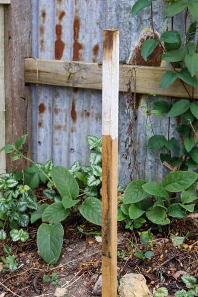
In Indianapolis and nearby counties like Hamilton, Hendricks, and Morgan, many rural tracts were first divided decades ago. Back then, survey records were hand-drawn, monuments were wooden stakes, and neighbors often agreed on boundaries by word of mouth. Over time, fences shifted, trees fell, and corner markers disappeared.
Now imagine you buy one of those properties. You build a new driveway or put up a fence—only to find out later your “yard” actually sits on your neighbor’s land. Suddenly, you’re dealing with boundary disputes, title problems, or a lawsuit.
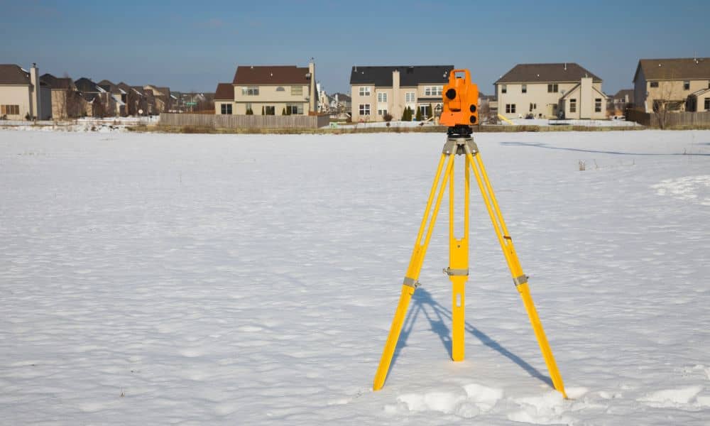
A boundary line survey prevents that. It’s the only way to confirm the exact shape and size of your property before you sign anything. Licensed surveyors use modern tools—GPS, total stations, and even drones—to retrace the original corners and verify that what’s written in the deed matches what exists on the ground.
What a Boundary Line Survey Really Shows
Many buyers think surveys are just maps with lines. In reality, they reveal everything that could impact ownership or construction.
A proper boundary line survey shows:
- The true property corners and dimensions.
- Overlaps or gaps between neighboring parcels.
- Encroachments like fences, sheds, or driveways crossing the line.
- Easements that allow utilities or shared access.
In rural Indiana, surveys often uncover surprises—like old barns sitting halfway on the neighbor’s lot or driveways running through another parcel. These aren’t small details. They can block building permits, delay closings, or even cause lawsuits years later when you try to sell.
Why Old Documents Aren’t Enough
Some sellers argue that a previous survey or plat map “should still be valid.” Unfortunately, land doesn’t stay frozen in time. A document from 20 years ago may not meet today’s standards or show the current state of the property.
Legal descriptions written before GPS mapping often used vague terms like “to the big oak tree” or “along the creek.” What happens if that oak is gone or the creek moved? Even a few feet off can change where your boundary truly lies.
Indiana’s 865 IAC 1-12-17 rule requires that boundary surveys meet strict accuracy standards and be certified by a licensed surveyor. That certification is your protection—it’s what makes the survey legally defensible if a dispute ever reaches court.
The “New Legal” Problem
Sometimes a boundary line survey reveals that the legal description in the deed no longer matches reality. When that happens, the surveyor must create a new legal description that reflects the correct boundary lines.
This isn’t just paperwork. Recording an updated legal document keeps your property title clean and protects you from future challenges. It also ensures that lenders and title companies can rely on the same data. Without it, closing can get delayed—or worse, the county may refuse to record the deed.
How Skipping the Survey Becomes a Legal Mess

The Reddit thread made one thing clear: skipping a survey doesn’t just risk confusion—it opens the door to lawsuits. One commenter shared how their neighbor built a garage over the line, leading to a two-year court battle. Another mentioned a buyer who lost access to a shared road after discovering the easement wasn’t properly recorded.
In most cases, the argument starts small. Someone disputes a fence, driveway, or tree line. But because there’s no up-to-date survey, nobody can prove where the real boundary is. Lawyers get involved. Title insurance often doesn’t cover the issue because the buyer waived the survey. By the time it’s resolved, legal fees exceed what the survey would have cost.
What It Costs in Indianapolis (and Why It’s Worth It)
Many buyers skip surveys because they assume they’re expensive or time-consuming. In reality, a boundary line survey typically costs between $2,000 and $3,500 for multi-acre rural properties. Smaller residential lots often run less.
The process usually takes two to four weeks, depending on weather, crew availability, and property size. With surveyors booked during busy seasons, ordering early makes sense—especially if your closing date is approaching.
When you think about it, that’s a small price for peace of mind. A survey gives you proof, not guesswork. You’ll know exactly what you’re buying—and where your rights begin and end.
How to Protect Yourself Before Closing
If you’re buying rural property, make sure your purchase offer includes a simple clause:
“This offer is contingent upon receipt and approval of a boundary line survey prepared by a licensed Indiana land surveyor.”
That one sentence can save you from being forced into closing without proper verification. It gives you time to review the survey results and resolve any issues before you own the problem.
Even better, hire your own surveyor instead of relying on the seller’s. That way, you control the scope and accuracy. A good surveyor will also explain what was found, mark corners in the field, and help you understand easements and encroachments in plain language.
Lessons from the Reddit Debate
The viral post ended with one common message: Don’t skip the survey. Buyers who did often found out too late that “assumed” lines weren’t real. Those who ordered a boundary survey before closing avoided major headaches.
As one surveyor commented, “I’ve never met anyone who regretted getting a survey—but I’ve met plenty who regret skipping one.” That’s a truth every rural buyer should remember.
Final Thoughts
Land ownership is one of the biggest investments you’ll make. In places like Indianapolis and across Indiana’s countryside, boundaries aren’t always as clear as they look. A boundary line survey turns uncertainty into certainty—it’s your defense against disputes, delays, and legal trouble.
Before you sign the papers, call a licensed land surveyor. They’ll confirm exactly what you’re buying, where it begins, and where it ends. Because when it comes to land, guessing is never good enough.


