How a Licensed Land Surveyor Connects Historic Records to Modern Boundaries
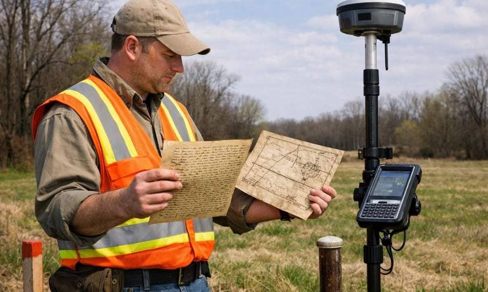
A licensed land surveyor does more than place stakes in the ground. They trace property lines through old records, maps, and physical clues. Old deeds, hand-drawn maps, faded notes, and buried stone markers all hold facts that shape where a boundary sits today. For developers, knowing how this works can protect your project before any […]
As-Built Surveys Explained for Homeowners and Builders
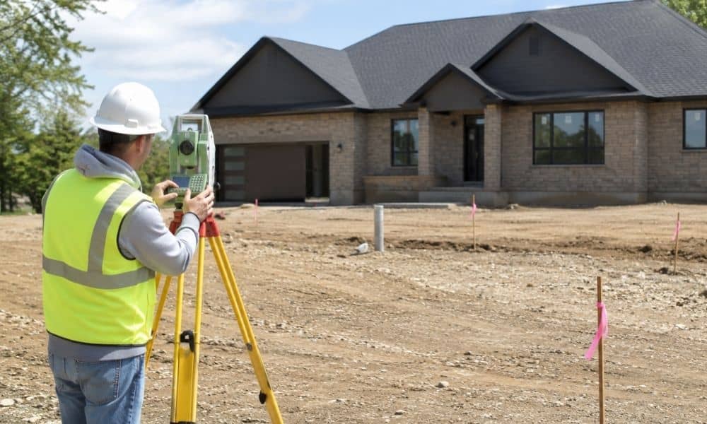
When building work ends, one step is still left. As built surveys must be done before permits close out. They must also be done before the last loan payment. This survey shows what was built, where it sits, and if it matches the set plans. What Is an As-Built Survey? An as-built survey is done […]
How to Find Property Lines After Storm Damage
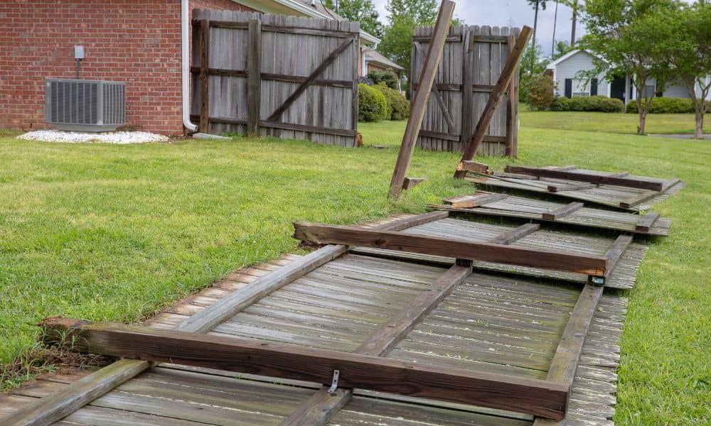
A strong storm can change your yard overnight. One day, everything looks normal. The next day, a tree is down, your fence is gone, and debris is spread across the ground. You step outside ready to clean up. Then you stop. Where does your property actually end? This is where many homeowners in Indianapolis get […]