If you’ve ever spotted a neighbor “fixing” or moving one of those little wooden stakes in your yard, you’re not alone. Recently, Reddit threads have been buzzing with homeowners venting about neighbors who move boundary markers or argue that Google Maps proves them right. It’s funny until it happens to you. Those small stakes can represent serious legal boundaries—and once someone messes with them, it can cause a dispute that costs time, money, and peace of mind. That’s exactly why getting a property line survey is one of the smartest moves you can make as a homeowner.
The Drama That Started Online
A few days ago, one Reddit user shared how his neighbor kept pulling up survey flags after a boundary survey. Another complained that their “EIBs” (iron pins) didn’t line up with what their neighbor’s app showed. Others debated whose fence was right when two surveys seemed to disagree. These aren’t rare stories; they’re daily life for surveyors and property owners across Indiana.
Why do these arguments blow up? Because most people assume what they see—a fence, a hedge, or a GPS pin on their phone—is where their property begins and ends. In reality, property boundaries are invisible until a licensed land surveyor defines them.
Stakes, Pins, and What They Really Mean
Let’s clear something up: those wooden stakes with pink or orange flags? They’re temporary markers, not the actual legal corners of your property. Surveyors use them to show measurements and lineups during the survey process. They can shift or get knocked over easily by wind, lawnmowers, or, yes, a curious neighbor.
The real boundary markers are usually iron pins, rebar, or capped monuments buried just below the ground’s surface. These are placed by licensed land surveyors and recorded as official reference points. Messing with them is not just bad manners—it’s against the law in Indiana.
What the Law Says in Indiana
Indiana law (IC 25-21.5-13-1.5) makes it illegal to remove, disturb, or destroy a survey monument. Anyone caught doing so can be required to pay for a professional re-establishment of that point. In plain language, if your neighbor moves your stakes or pulls an iron pin, they could be held responsible for the cost of re-surveying the property.
That’s why it’s best not to argue across the fence line. Instead, let your surveyor do the talking—through data, documentation, and professional boundaries that hold up in court.
Why a Property Line Survey Solves the Problem
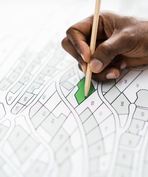
A property line survey isn’t just for new builds or real estate closings. It’s also your best defense against neighborhood disputes. Here’s what makes it powerful:
- It gives you a verified map of your property’s exact boundaries, based on deed records and fieldwork.
- The surveyor places or confirms boundary markers that define your land with legal accuracy.
- You get a signed, sealed plat that proves where your line truly is—no guesswork, no app confusion.
So, when a neighbor insists that “Google says my fence is right,” you can calmly point to your certified survey. Unlike screenshots, your survey is admissible evidence if the issue ever escalates.
The Smartphone Myth Everyone Believes
We live in a world where a phone can do almost anything—but drawing legal boundaries isn’t one of them. GPS on a phone has a margin of error of several feet, sometimes more. Google Maps or county parcel viewers are helpful for quick references, but they are not survey-grade tools.
In Indianapolis, parcel lines shown online are often shifted slightly or simplified for public viewing. They can’t reflect real-world monuments, easements, or legal descriptions from deeds. Yet many neighbors rely on them as proof and get into heated arguments. A professional property line survey clears that confusion instantly.
How to Handle It Calmly When Stakes Go Missing
It’s tempting to march across the yard and confront whoever moved your flags—but there’s a better way. Start by contacting the land surveyor who marked your property. They can re-mark corners, tie witness points, and even provide photo documentation to prove where your boundary stands.
Ask for a copy of your property line survey plat and keep it safe. If you already have one but it’s several years old, the surveyor can perform a quick update to verify nothing has changed.
If things get tense, your surveyor can issue a brief letter of clarification or affidavit explaining their findings. This simple document often stops the argument before it becomes a legal fight.
The “Boundary Peace Pack” Every Indy Homeowner Should Have
Think of this as your calm, professional response kit for neighbor disputes:
- Re-marked corners with witness ties (small backup references so the true point can be found again).
- Photo log and coordinate list in the Indiana State Plane East system—clear, measurable proof of where your corners sit.
- Neighbor-friendly explainer sheet showing what a survey includes and why it’s legally binding.
- Highlighted plat from the Marion County Recorder’s office, showing how your property fits into the block or subdivision.
You don’t have to brand it like that, but offering this documentation—through your surveyor—can calm emotions fast. It replaces debate with data.
Why It’s Worth Acting Early
Most surveyors can re-mark or verify corners within a few business days. Waiting until a fence is already built or until tempers rise makes things harder. Early action saves money and stress.
Also, remember this: fences and landscaping can be rebuilt. Relationships with neighbors are harder to fix. Handling a boundary issue professionally helps you keep both your property and your peace.
Real Peace Starts With Real Lines
The next time someone questions your boundaries—literally—remember that you don’t need to argue. You need evidence. And property line surveys give you exactly that.
While online forums might make for entertaining reads, the calmest homeowners are the ones with certified surveys in their hands. Because when it comes to where your land begins and ends, the truth isn’t found in an app—it’s written in your plat.
So, before another stake mysteriously “disappears,” call a licensed land surveyor. You’ll protect your property, prevent conflict, and finally stop worrying about what’s happening on the other side of the fence.
