
Read Your Plat Before Getting a Property Line Survey
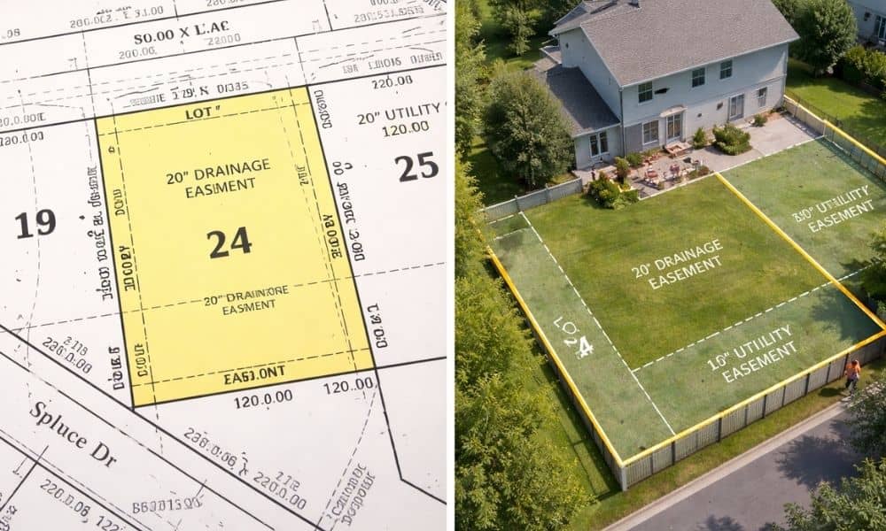
If you plan to build a fence, extend your driveway, or add onto your home in Indianapolis, you may start by looking up your property online. Soon enough, you’ll find a plat map from Marion County. At first glance, it looks clear. Lines, numbers, and labels seem to show exactly where your property sits. So […]
Home Survey Demand Rises as Property Taxes Change

Property taxes always get people talking. Recently, new discussions about Indiana property tax rules and credits have pushed many homeowners to look more closely at their property records. Naturally, when taxes change, people start asking questions about how their homes are evaluated. Many homeowners in Indianapolis are now checking their property details online. They compare […]