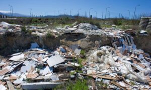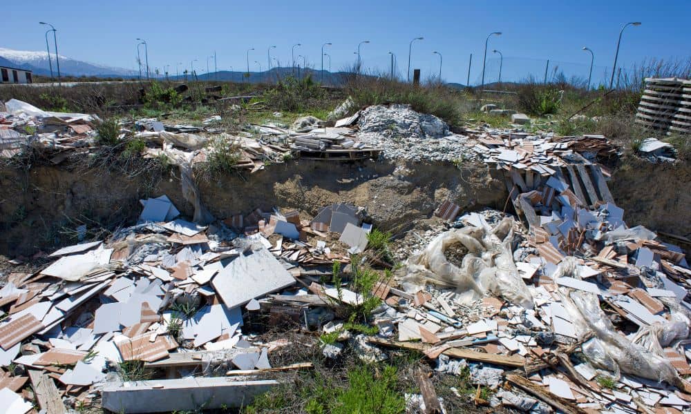
Illegal construction waste dumping is becoming a serious issue across Indiana, and developers in Indianapolis are seeing the impact firsthand. A boundary survey may not be the first thing you think about when you hear stories about people dumping piles of debris on empty land, but this problem shows why it matters. When a site isn’t marked or monitored, it becomes an easy target. And when someone drops tons of trash on your land, the cleanup—and the cost—usually lands on you.
News outlets recently reported a case where more than 8,000 pounds of construction debris were dumped across several unauthorized sites. It spread quickly because the situation is a lot more common than most people realize. When land looks open or forgotten, dumpers take advantage. That puts developers, builders, and landowners at risk long before their projects even begin.
Even though this looks like a crime story, it connects directly to land development. This trend is now pushing developers to order boundary surveys earlier, because dealing with someone else’s waste can slow everything down.
Unmarked Land Becomes an Easy Target
Vacant land is everywhere around Indianapolis. Some lots sit empty between subdivisions. Others are old commercial sites waiting for redevelopment. Many are grassy fields that look unused. To a person looking to dump materials, these sites look perfect. No clear markers. No fences. No signs. And most importantly, no boundaries they can see.
When land is not clearly marked, people assume no one is paying attention. Dumpers know they can pull in late at night, unload debris, and be gone in minutes. The same confusion affects construction crews. Without marked lines, workers or subcontractors sometimes place dumpsters, supplies, or equipment on the wrong property by accident.
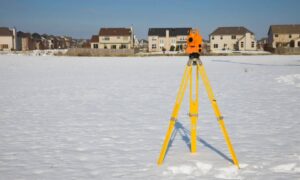
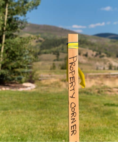
A boundary survey changes the picture instantly. Once survey stakes or flags appear, the land no longer looks neglected. It looks claimed and monitored. And people tend to stay away from marked property.
Developers Often Get Stuck With Cleanup Costs
One of the most frustrating parts of illegal dumping is that the landowner often pays the price, even if someone else caused the problem. Cities want waste removed quickly to protect the environment and nearby homes. Because of this, they usually hold the property owner responsible until the case is solved.
Cleanup is not simple or cheap. Heavy construction debris often requires a roll-off dumpster, equipment to load it, and even soil testing if there is drywall dust, paint, or treated wood mixed in. The cost can jump fast, and none of it was part of the original development budget.
Even after cleanup, the project slows down. Surveyors cannot collect accurate data if debris blocks the area. Engineers cannot study elevations or soil conditions. Crews cannot bring in equipment. All this lost time can throw off schedules and push back deadlines.
Ordering a boundary survey at the start helps prevent these issues. It provides visible limits, discourages dumping, and gives developers proof if trespassing happens. And because every site has different risks, many developers also talk with land surveyors in my area early on to get a clearer picture of how exposed their land might be. Those early conversations often help them secure the property before anyone has a chance to misuse it.
A Boundary Survey Is Now an Early Step in Development
In the past, developers sometimes ordered boundary surveys later, once planning and design were underway. Now, more developers schedule them at the very beginning. The earlier the land is marked, the safer the site becomes.
One major benefit is deterrence. Survey stakes and flags make the land look active. People avoid trespassing when boundaries are obvious. Dumpers want places where they won’t get caught, so a marked site is less appealing.
Another benefit is documentation. If someone dumps waste anyway, the survey becomes evidence. It shows the exact lines of ownership and helps prove where the dumping occurred. Developers can give this information to police or insurance, which speeds up the process.
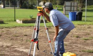
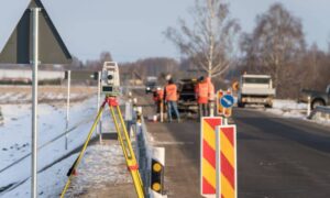
Surveyors also need a clean site to establish control points. These points guide every stage of construction, from grading to layout. If the land is clear and marked, surveyors can work faster and keep the project moving.
Illegal Dumping Disrupts Surveying and Construction
Surveyors rely on accuracy. They must see the ground, access corners, and move equipment around the property. When waste sits in the way, several problems come up right away.
Corner pins can get buried or knocked out of place. Control points become unreachable. Waste blocks paths for equipment. Even small piles can throw off elevation readings. If the dumping crosses into a neighboring lot, the surveyor must spend extra time sorting out the confusion.
Developers then face delays that affect the entire project timeline. A simple pile of trash can push back layout work, permit applications, or even pre-construction meetings. These issues disappear when boundaries are marked early.
Marking the Site Shows Control and Reduces Risk
Once a boundary survey is complete, developers can do more to secure the property. Temporary fencing, clear signs, and additional stakes build a visible perimeter. Even small steps send a strong message: the land is being watched.
Surveyors can also provide updates or photos to help track any changes. Developers often check on vacant lots only once in a while, so this extra support gives them confidence. When a parcel looks controlled, dumpers move on to easier targets.
A Wake-Up Call for Indianapolis Developers
Illegal dumping has been a problem for years, but it is now happening more often as development grows around Indianapolis. Land that sits untouched for even a few weeks can attract unwanted activity. People assume nothing is happening until construction begins, so early-stage land is the most vulnerable.
This recent news story shows why the old approach no longer works. Developers cannot treat the boundary survey as a small task or something to order later. It protects much more than the property lines. It protects the budget, the schedule, and the entire project.
A simple line of stakes can save weeks of trouble. It can also save thousands in cleanup costs. Most of all, it sends a clear message to anyone passing by: this land is active and monitored.
Start With a Boundary Survey Before Any Site Work Begins
If you are preparing a project, order a boundary survey before you clear ground, place dumpsters, or bring in equipment. It is the best way to show control, mark your perimeter, and protect your land.
When you set clear boundaries early, you protect the entire development process. You avoid delays. You avoid disputes. And you avoid paying for someone else’s mistakes.
Illegal dumping may be on the rise, but you can stay ahead of it. A boundary survey gives you control from day one and keeps your site safe, clean, and ready for construction.
