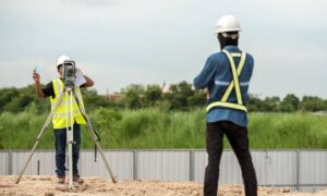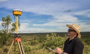
An ALTA survey is one of the smartest steps a property owner can take—especially after this week’s wild weather. The city just went from freezing cold to heavy rain in only a few days. Those quick changes can quietly shift the ground under your property. If you own land, plan to buy, or hope to sell soon, making sure your ALTA survey is current can protect your investment before problems show up.
The Freeze-Flood Combo That Moved More Than Water
When the temperature drops fast, the ground freezes and expands. A few days later, rain soaks the soil and causes it to soften again. That back-and-forth motion makes the ground move. Corner pins tilt, sidewalks rise, and fences lean a little more than before.
It might not look serious, but those small changes can mean a lot. A fence just a few inches off could lead to boundary disputes or even a delay in closing a sale. Updating your ALTA survey after extreme weather helps you catch those issues early. The ground may look the same, but your legal boundaries might have shifted.
What an ALTA Survey Really Does

An ALTA survey—short for American Land Title Association survey—is a detailed map of your property. It shows boundaries, buildings, easements, and anything that affects ownership or land use. Lenders, buyers, and title companies rely on it to confirm what’s really there.
After a strong storm or freeze, an ALTA survey becomes your proof of accuracy. It shows whether your records still match the physical site. If your last survey was done before the weather changed, an update can make sure your information is still right and reliable.
The Hidden Impact on Property Boundaries
Big weather changes can move things you don’t notice at first:
- Soil movement: The clay soil around Indianapolis expands when frozen and shrinks when wet, pushing corner markers out of place.
- Erosion: Heavy rain washes away topsoil and can expose or loosen survey monuments.
- Drainage shifts: Repeated flooding creates new low spots, changing how water flows across your yard.
- Surface cracking: Freeze-thaw cycles split driveways and patios, which changes where stormwater drains.
Each small change can make an older survey inaccurate. When you go to sell or refinance, that outdated data can cause delays or disputes.
Why Indianapolis Properties Are at Risk
Indianapolis has soil that holds water and reacts quickly to temperature swings. During freezing and thawing, some areas lift while others sink. That movement doesn’t always show right away, but it can cause problems later.
The city’s older neighborhoods and growing developments add another layer of challenge. Drainage systems vary from street to street, and stormwater rules keep evolving. Having a current ALTA survey means your property stays in line with those changes and helps you avoid costly surprises during inspections or closings.
Real-World Situations You Might Recognize
Picture buying a commercial lot only to find the fence sits a foot off the actual line. That one foot could lower the land’s value. Or imagine rebuilding a wall after a flood and later learning it crosses an easement you didn’t know about.
These kinds of mix-ups happen more often after harsh weather. An updated ALTA survey gives you solid proof of your boundaries, so you can make repairs or improvements with confidence.
What You Can Do Right Now
You don’t need to wait for a sale or a loan to check your property. Start by looking at when your last ALTA survey was done. If it was before this week’s freeze-flood event, it’s time to call a licensed land surveyor for an update.
They’ll recheck your corners, measure elevations, and make sure everything matches your records. It’s a quick visit that gives lasting peace of mind. Once you have the updated survey, keep both the old and new versions in your property file. When you need them for refinancing or future projects, everything is ready to go.
How an ALTA Survey Protects Your Investment
A new ALTA survey can save you from future trouble:
- Keeps your title insurance valid: Confirms that boundaries and easements are still correct.
- Prevents neighbor disputes: Ensures fences, driveways, and walls stay on your land.
- Speeds up property deals: Gives lenders and buyers confidence that your records are up to date.
- Preserves value: Shows your property hasn’t been damaged or altered by weather.
Those benefits make the small cost of a survey worth every dollar.
Final Thoughts:
This week’s freeze-flood event may be over, but more winter weather is coming. Each cycle of frost and rain can shift the ground again. Getting an updated ALTA survey now protects your boundaries and your investment before the next storm hits.
It’s a simple step that proves your property is still accurate, insurable, and ready for the future. Weather changes fast —but your property records don’t have to.


