
Why a Licensed Surveyor May Reach Different Results Than an Older Survey
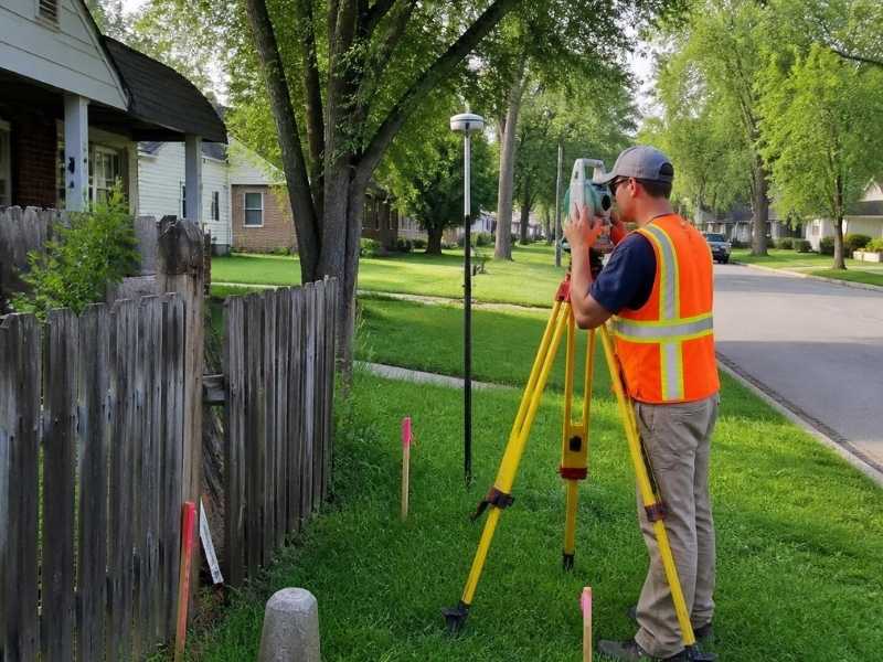
Property lines in Indianapolis shift on paper long before anyone notices it on the ground. A survey from twenty years ago might not match what a licensed surveyor finds today. That gap causes real problems for homeowners, buyers, and builders across Marion County, especially when a fence, driveway, or new addition sits close to a […]
When a Cadastral Surveyor Becomes Important During Estate Transfers
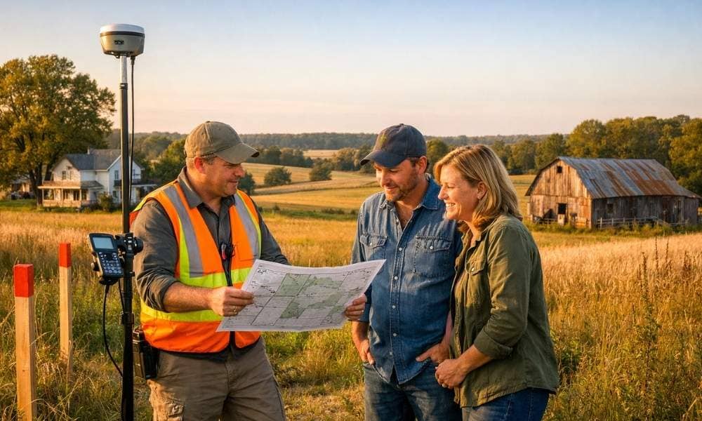
Every family seems to know a story like this one. A grandparent owned a big piece of land. Over the years, pieces were promised to different kids. Nothing was ever put on paper. Then the grandparent passes away, and the family is left holding a deed that doesn’t match the land the way anyone remembers […]
How a Licensed Land Surveyor Connects Historic Records to Modern Boundaries
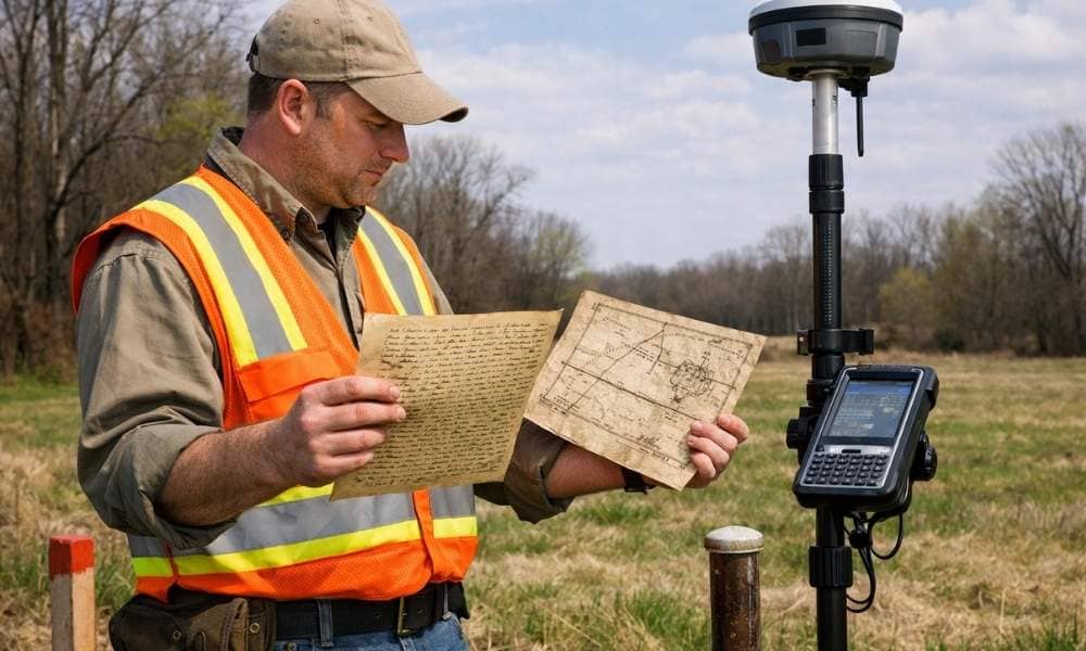
A licensed land surveyor does more than place stakes in the ground. They trace property lines through old records, maps, and physical clues. Old deeds, hand-drawn maps, faded notes, and buried stone markers all hold facts that shape where a boundary sits today. For developers, knowing how this works can protect your project before any […]