How New LiDAR Mapping Is Changing Planning

Development is changing. However, the reason may surprise you. It is not a new zoning rule or a major building boom. Instead, the change is coming from better data. Indiana is rolling out a new statewide LiDAR and imagery program for 2026–2028. The program is led by the Indiana Geographic Information Office. While this update […]
Aerial Survey Drones Restricted? Costs & Delays

If aerial survey drones get restricted in the U.S., you won’t just see a headline and shrug. You’ll feel it in your project schedule, your survey quote, and the files your engineer needs. Right now, a lot of survey teams rely on DJI gear because it works, crews know it, and the workflow runs fast. […]
Why Construction Surveys Save You From Costly Build Mistakes
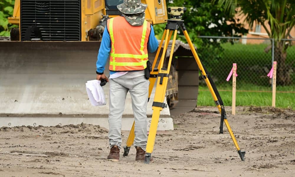
If you plan to build anything on your property—like a garage, room addition, fence, or even a large shed—you need clear and accurate measurements. This is where construction surveys help you avoid expensive mistakes. Many homeowners jump into a project because it feels simple, yet a few inches in the wrong direction can cause huge […]