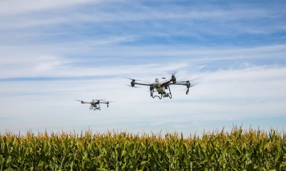
Drone Surveying: Cutting Through the Hype and Concerns

If you’ve been on Reddit lately, you’ve probably seen the debates about the proposed data center in Franklin Township. People in Indianapolis are worried about water use, power demand, traffic, and even neighborhood property values. In the middle of all this, “drone surveying” keeps popping up in conversations. Some residents assume drones have already mapped […]