Can a Drone Survey Prevent Costly Boundary Disputes?
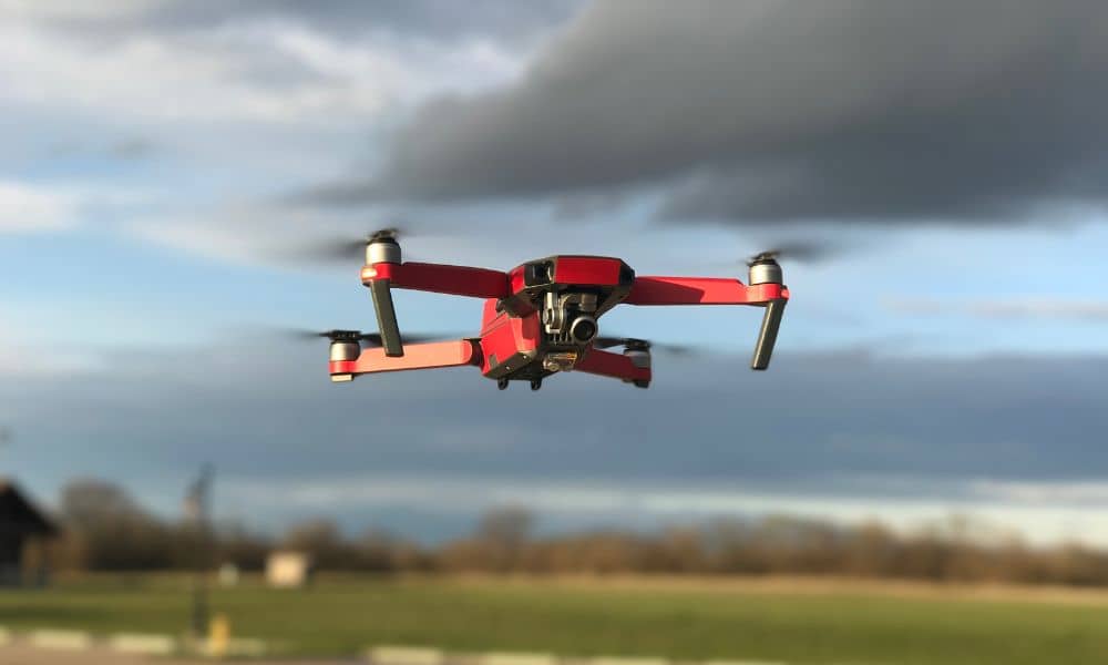
A drone survey can now help fix a problem that’s been around for a long time — the unclear border between Indiana and Michigan. Recent reports show that much of the 110‑mile state line is still “fuzzy.” If you own land near that border, or plan a project in central Indiana, this confusion could cause […]